
Piscataway Neighbors Block Sources
Public records can describe a block from several angles, but their meaning is not interchangeable. The county parcel layer shows mapped tax parcels and fields associated with them. A deed index identifies recorded parties. A voter record is about registration, subject to statutory limits. Community organizations may publish a meeting route without opening a member directory. Start with the property that anchors the question, then use only the source that answers the next narrow question about nearby Piscataway neighbors.
| Block source | What it can show nearby | Access and limit |
|---|---|---|
| Middlesex County parcel layer | Parcel geometry, property location, owner display and mailing fields, block and lot | Public map-layer data; geometry is not a legal survey boundary |
| County deed index | Recorded grantor, grantee, instrument date, and legal-description trail | BrowserView and Clerk route; recorded party is not necessarily an occupant |
| County voter-list process | Authorized name, address, party, ward, and district data | Statutory process; protected addresses and identifying fields are excluded |
| Society Hill association | Public meeting and contact layer | Public site, but no resident roster exposed |
| Maple Woods community site | Resident resources, discussion, and directory features | Directory access is controlled by resident sign-in |
An owner record can identify a person or entity linked to a parcel, while a physical property location identifies the parcel itself. Neither statement confirms who currently occupies it. Keep owner, mailing, registration, and community-access facts in separate notes when tracing Piscataway neighbors.
Parcel Fields for Piscataway Neighbors
The Middlesex Parcels Public layer exposes useful block-level fields, including OwnersName, PropLoc, OwnerAddr1, OwnerAddr2, ZipCode, UNIQUEID, municipality, old block and lot, legal description, and a LASTUPDATE field. The REST service uses a query or where expression, while the statewide Property Explorer is the address, block, and lot interface. The county layer’s monthly update note is a date clue, not a guarantee that every linked record changed that month.
PropLoc means the parcel’s physical location. Owner-address fields are mailing fields and can point somewhere else. UNIQUEID and block/lot data help distinguish similar street numbers or names, especially when a selected parcel touches several others. Use the map view to judge adjacency. Do not use a shared ZIP, a nearby number, or a common road name as a substitute for parcel geometry.
NJGIN’s parcel-data guidance explains the statewide Property Explorer route and its Daniel’s Law redaction warning.
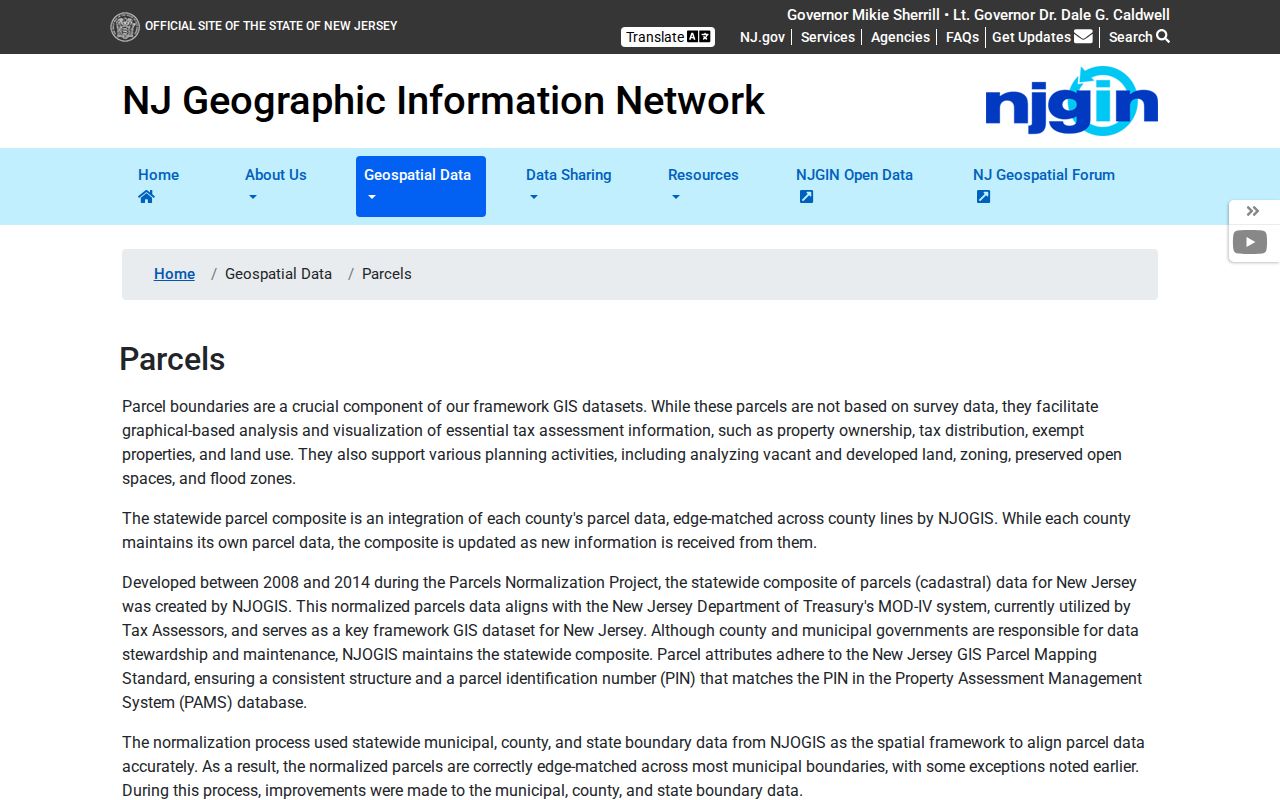
NJGIN also cautions that statewide parcel composites are not surveys or legal boundaries, and adjoining county layers may not edge-match. That makes a local map useful for a nearby-parcel check, but not for settling a boundary dispute.
Map Piscataway Neighbors by Parcel
Use the selected parcel as the center of a small, visible block search. The goal is to identify parcels that touch or sit immediately around it, then to record what the public layer says about each one. This is different from researching every property on a named street, because it stays with the immediate geometry around a single address.
- Find the address in the Property Explorer or Middlesex parcel map, then confirm that the parcel’s property location and municipality match the intended Piscataway place.
- Record the selected parcel’s UNIQUEID, block and lot, legal description, and update field. Those details help when street numbering or owner names are unclear.
- Visually inspect touching and immediately nearby polygons. For each one, compare property location, owner display, old block or lot, and mailing fields without treating a mailing field as occupancy.
- If a recorded-title question remains, search the County Clerk by party name or block and lot. Classify deeds, mortgages, releases, easements, and quitclaims before treating one as a change in title.
The county layer can reveal geometry, but its interactive adjacent-neighbor popup was not captured during research. Use its displayed polygons and identifiers rather than claiming an unseen automated neighbor list. For a full named-street record trail, use the Piscataway Street Directory, which follows the address chain beyond this immediate block method.
Piscataway Neighbors in Voter Records
New Jersey’s Division of Elections provides the official “Am I Registered?” route, but the directly inspected page did not expose its complete live field set. State instructions say the name must match county data exactly, including differences in hyphens, spaces, middle initials, nicknames, and name changes. That route answers a personal registration-status question, not a block roster.
N.J.S.A. 19:31-39 permits specified voter-list disclosures with name, address, party affiliation, and ward or district information in the statutory circumstances. Signatures, Social Security numbers, driver-identification information, and protected covered-person addresses are excluded. The Middlesex election offices are the source for current list-copy procedure and cost. A voter address is civic-registration evidence, not proof of present-day occupancy or the complete set of people at a parcel.
Piscataway Community Access Levels
Community resources can help a person find a public meeting, association contact, or local discussion channel. They do not authorize access to private membership data. Research identified two specific Piscataway examples with different public access levels, so they should not be treated as interchangeable lists of neighbors.
| Community resource | Publicly visible layer | Directory position |
|---|---|---|
| Society Hill Piscataway | Association contact, clubhouse information, meetings, and public forums | No public resident roster was found. Its clubhouse is listed at 550 Chesterfield Drive, with phone 732-463-3434. |
| Maple Woods at Piscataway | Community site with resident resources and discussion features | Directory features require resident sign-in and are access controlled. |
Society Hill’s public meeting layer can be useful for civic contact, while Maple Woods illustrates a private community directory. Neither source supports an invented township-wide association roster. The research found no official township-wide list that names every community association and every household.
Official Paths for Piscataway Neighbors
Official sources identify their custodian, field scope, and access limits. Commercial neighbor-lookup tools are a separate category and should be treated as leads that require independent verification, not as a substitute for the parcel, deed, or election record. A current Piscataway neighbor question is better resolved by checking the appropriate official layer and asking the custodian when a field’s meaning is unclear.
| Source choice | Best use | What to verify |
|---|---|---|
| County GIS and parcel data | Which parcels are adjacent and what fields belong to each parcel | Property location versus owner mailing address, update date, and Daniel’s Law display limits |
| County Clerk instrument index | Recorded-party and title-chain question | Party role, document type, date, legal description, and image or copy access |
| Election office route | Narrow civic-registration or statutory-list question | Exact name, statutory scope, protected-address exclusions, and current procedure |
| Commercial neighbor-lookup category | A possible starting clue only | Date, source, identity, and whether an official record confirms the claim |
Note: A source that does not name its custodian, date, or record type should never outrank an official record with clear scope.
River Road and Piscataway Neighbors
Local geography gives older block research a useful frame. Middlesex County historic material places the Cato Hoagland House at 1050 River Road, Cornelius Low House at 1225 River Road, and the Metlar/Bodine site at 1281 River Road. River Road was part of the old Great Road Up the Raritan. These are stable landmarks when an old directory, deed, or oral history uses a road, crossroads, or rural-route description rather than a modern number.
Piscataway’s original land grant covered a far larger area than the modern township, so early records can use the place name at a different scale. Record the source’s exact place label, then compare it with county, road, parcel, church, and later municipal geography. The River Road context helps orient a historical address search, but it cannot be used to infer a present neighbor relationship without current parcel evidence.
Cato Hoagland bought the River Road house in 1862 and lived there until 1899, according to the county’s historic account. The crossroads community is described through teachers, innkeepers, carpenters, butchers, and a bacteriologist. That detail shows why a property name, road corridor, and date can be better historical search keys than a modern address alone. Compare those keys with the deed’s legal description and old block or lot before connecting an older person to a particular Piscataway block.
Piscataway Neighbor Lookup Boundaries
New Jersey public-record access is layered. OPRA can provide an identifiable public record, subject to exemptions, redactions, custodian review, fees, and response rules. The Address Confidentiality Program gives eligible survivors a substitute legal address and protects future government disclosure. Daniel’s Law restricts disclosure of covered public officials’ and families’ home addresses and unpublished phone numbers. A missing address is not a puzzle to solve by combining other sources.
The New Jersey Office of Information Privacy explains Daniel’s Law protections and the state’s related privacy route.
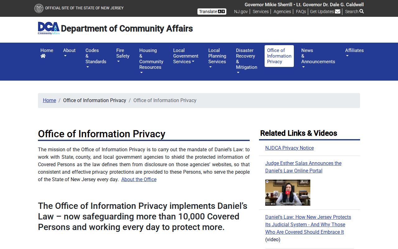
The privacy rules matter most at the block level, where a parcel map can feel more complete than it is. Utility and delivery information are not a public neighbor index, a voter list is not a household list, and a private association directory stays private. Ask the relevant office about a defined record and respect its redactions.
Lawful use. Use Piscataway neighbor records for personal, lawful research and community awareness. Never use them to stalk, threaten, harass, watch, or intimidate anyone.